The Value of Aerial Roof Measurements
An aerial roof measurement allows for the remote measurement of a building's roof sections' size, geometry, pitch, and direction, and then uses that information to provide an estimate to fix or replace the roof, or to insert equipment as needed.
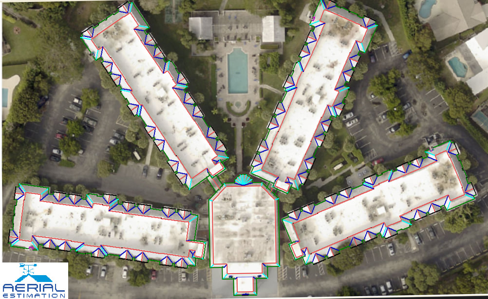
An aerial image record database is included in the system, which displays aerial photographs of buildings in a certain region, organized by address. The photos of slope and direction are usually indirect viewpoints and top plan views of the area's buildings.
For more than five years, aerial estimations have been a component of the repair business, providing correct roof measures. Leading restoration companies are reaping significant benefits from mastering these technologies and working out how to apply them to increase earnings and income.
They're adapting and integrating aerial roof measurement technology and seeing excellent returns throughout the roofing cycle by using it for all elements of the sectors, such as marketing, warranty sales, and production.
Aerial measurement technology enables contractors to boost productivity levels and spend more time with landowners to understand their requirements, besides the marketing benefits.
Contractors are also experiencing benefits in the area of safety. When a building has been destroyed leads to extreme risks, in that condition climbing is completely unsafe. So, aerial measurement reduces the risk of contractors climbing a damaged roof and allows them to simply check and report damages by taking photos.
The reports can be used at any point during the roofing project's life cycle to help contractors make more money. Several contractors, for example, several contractors have reported enhanced efficiencies in material requesting. Because the measurements are appropriate, contractors can make precise material demands. Refer to our website for more details.
Now Aerial Estimation offers satellite roof measurements free trial to test accuracy and turn around time.